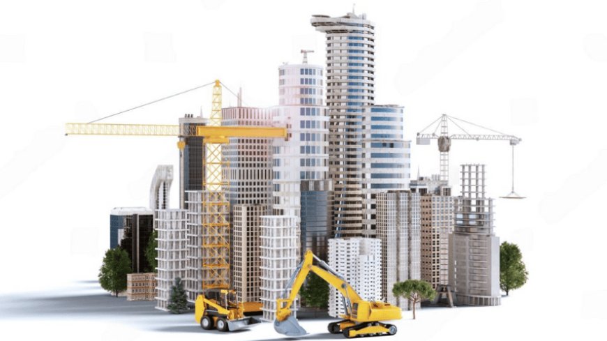
Tidal and Coastal Data Shaping Dubai Marina Miniature Models
Miniature model making for Dubai Marina projects is more than an artistic or architectural process. It integrates science, technology, and engineering to represent complex environments.

Miniature model making for Dubai Marina projects is more than an artistic or architectural process. It integrates science, technology, and engineering to represent complex environments. One critical influence is tidal and coastal engineering data.
These elements shape how scale models are designed, detailed, and presented for real estate, tourism, and urban planning purposes. In a city like Dubai, where coastal developments are vast and ambitious, the accuracy of such models is essential. Here’s how tidal and coastal engineering data plays a key role in this process.
Understanding the Local Marine Environment
Dubai Marina is a man-made canal city. It was developed along the Persian Gulf shoreline. This area is affected by tides, wave patterns, currents, and sedimentation. Model makers must study these natural dynamics before beginning a miniature project.
Tidal patterns affect how water levels rise and fall. Coastal engineering data helps identify how these shifts impact shorelines, docks, and yacht berths. Accurate modeling of these features is vital for clients to visualize how developments interact with marine conditions.
Designing Realistic Water Features
Water features are a key element in Dubai Marina models. These include canals, docks, marinas, and beaches. Tidal data helps determine the natural range of water levels throughout the day and year. Coastal engineering data adds further detail by outlining wave heights, currents, and water movement patterns.
Using this information, model makers can simulate how water interacts with built environments. Some high-end models include moving parts like boats and flowing water systems. These features rely on accurate tidal modeling to appear natural and realistic.
Enhancing Structural Placement
The position and elevation of buildings and infrastructure are influenced by tidal ranges. In coastal engineering, structures must be placed at safe elevations to withstand occasional flooding or erosion. When building a miniature model for Dubai Marina, this data ensures accuracy in elevation and spacing.
For example, podium levels of buildings and boardwalks are modeled above the high tide mark. This shows stakeholders that the design complies with environmental and safety regulations.
Simulating Coastal Protection Features
Breakwaters, sea walls, and rock revetments are all common in coastal developments. These features are used to protect infrastructure from wave and tidal damage. Coastal engineering studies help model makers understand their scale, function, and location.
Including these details in a miniature model improves the realism and communicates how the project addresses environmental challenges. In Dubai Marina, where artificial islands and jetties are common, this is particularly important.
Creating Scenarios for Urban Planning
Model making Dubai is not just about presentation. It is also used as a planning tool. Developers and city officials often use models to test future scenarios. These include rising sea levels, storm surges, or changes in coastal erosion.
By using tidal and coastal data, miniature models can be built to reflect different climate or environmental outcomes. This helps in assessing the long-term impact of development plans. For example, a model may show how an extended promenade would function under storm conditions or king tides.
Improving Marketing and Investor Confidence
Investors and buyers prefer developments that are safe and sustainable. Miniature models that incorporate coastal and tidal engineering data appear more credible. They show potential buyers how the development will handle natural marine conditions.
For instance, a marina model that shows accurate floating docks that adjust with tides can boost confidence in the project’s design. Similarly, showing proper drainage near the waterfront adds to the project’s perceived quality. It gives investors a sense of preparedness and future-readiness.
Integrating Smart Technology into Models
Some Dubai Marina models include lighting, movement, and smart simulations. Coastal data enables realistic automation. For example, models may use sensors or programming to show tide levels at different times of day.
Lighting changes can simulate sunrise or sunset over the marina. All these dynamic features are based on actual data collected from coastal studies. The more accurate the data, the more immersive the model becomes. This adds tremendous value for presentations and client engagement.
Ensuring Compliance with Dubai’s Coastal Regulations
Dubai has strict planning and zoning laws, especially near the coast. Projects near the marina must comply with the Dubai Maritime City Authority and other regulators. Coastal engineering reports help developers meet those standards.
When creating a scale model, using this data helps ensure compliance is visually represented. It shows that setback distances, building heights, and public access points are planned according to law. This gives city planners confidence that the development meets technical and legal expectations.
Supporting Collaborative Development
Miniature model making often involves collaboration among architects, engineers, and government agencies. Tidal and coastal data act as a shared foundation. When everyone uses the same technical inputs, the model becomes a central planning tool. Coastal engineers can verify design accuracy, while architects see how their concepts fit into the environment. This makes model making not only a visual task but also a communication platform.
Conclusion
Miniature model making for Dubai Marina projects is heavily influenced by tidal and coastal engineering data. From creating lifelike water features to ensuring structural accuracy, this data enhances every layer of the model.
It ensures realism, safety, and compliance. It supports marketing, planning, and collaboration. In a fast-developing coastal city like Dubai, using precise environmental data in model making is not a luxury—it’s a necessity. Developers who integrate this approach create not just models, but visions that stand the test of time.


